
Barakutni topographic map
Interactive map
Click on the map to display elevation.
About this map
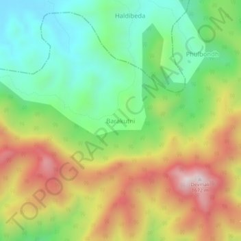
Name: Barakutni topographic map, elevation, terrain.
Location: Barakutni, Pottangi, Koraput District, Odisha, India (18.66479 82.94817 18.70479 82.98817)
Average elevation: 1,217 m
Minimum elevation: 893 m
Maximum elevation: 1,666 m
Other topographic maps
Click on a map to view its topography, its elevation and its terrain.