
South Tangerang topographic map
Interactive map
Click on the map to display elevation.
About this map
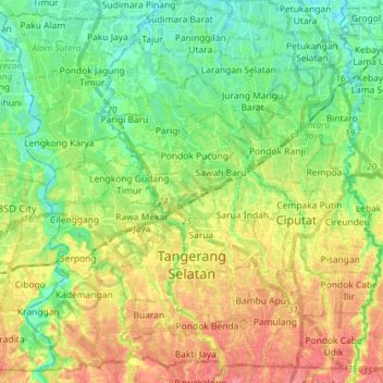
Name: South Tangerang topographic map, elevation, terrain.
Location: South Tangerang, Banten, Java, Indonesia (-6.36227 106.63662 -6.22896 106.78001)
Average elevation: 40 m
Minimum elevation: 12 m
Maximum elevation: 78 m
Other topographic maps
Click on a map to view its topography, its elevation and its terrain.