
Thank you for supporting this site ❤️
Make a donation
Make a donation
Dabka topographic map
Click on the map to display elevation.
Thank you for supporting this site ❤️
Make a donation
Make a donation
About this map
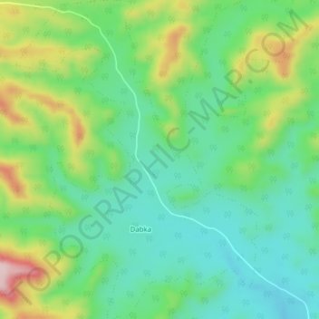
Name: Dabka topographic map, elevation, terrain.
Location: Dabka, Multai Tahsil, Betul District, Madhya Pradesh, India (21.46227 78.06453 21.49842 78.09403)
Average elevation: 519 m
Minimum elevation: 432 m
Maximum elevation: 699 m
Thank you for supporting this site ❤️
Make a donation
Make a donation
Other topographic maps
Click on a map to view its topography, its elevation and its terrain.