
Thank you for supporting this site ❤️
Make a donation
Make a donation
St. Clether topographic map
Click on the map to display elevation.
Thank you for supporting this site ❤️
Make a donation
Make a donation
About this map
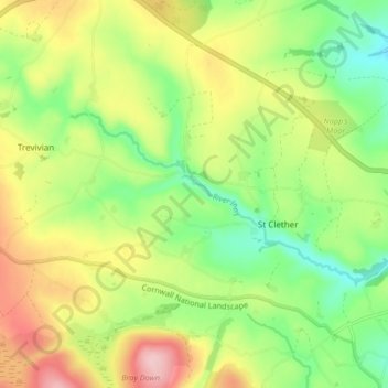
Name: St. Clether topographic map, elevation, terrain.
Location: St. Clether, St Clether, Cornwall, England, United Kingdom (50.61194 -4.60035 50.65549 -4.51712)
Average elevation: 237 m
Minimum elevation: 157 m
Maximum elevation: 345 m
Thank you for supporting this site ❤️
Make a donation
Make a donation