
Jēkabpils topographic map
Interactive map
Click on the map to display elevation.
About this map
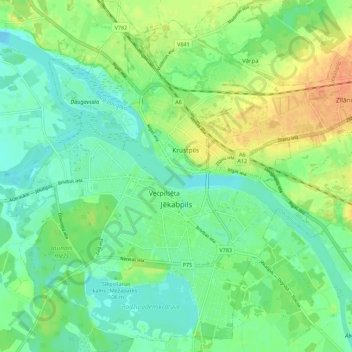
Name: Jēkabpils topographic map, elevation, terrain.
Location: Jēkabpils, Zemgale, Latvia (56.46999 25.82398 56.53132 25.93391)
Average elevation: 88 m
Minimum elevation: 73 m
Maximum elevation: 112 m
Other topographic maps
Click on a map to view its topography, its elevation and its terrain.