
Porcheresse topographic map
Interactive map
Click on the map to display elevation.
About this map
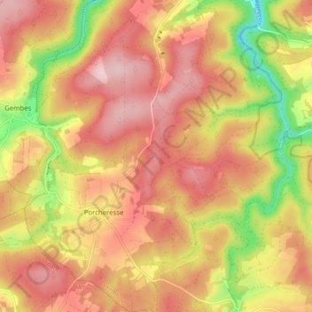
Name: Porcheresse topographic map, elevation, terrain.
Average elevation: 357 m
Minimum elevation: 237 m
Maximum elevation: 432 m
Other topographic maps
Click on a map to view its topography, its elevation and its terrain.
Bohème
Belgique > Luxembourg > Neufchâteau > Daverdisse
Bohème, Haut-Fays, Daverdisse, Neufchâteau, Luxembourg, Wallonie, 6929, Belgique
Average elevation: 411 m