
Varni topographic map
Interactive map
Click on the map to display elevation.
About this map
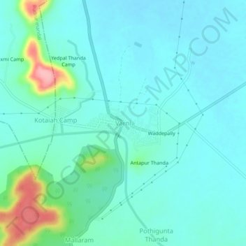
Name: Varni topographic map, elevation, terrain.
Location: Varni, Varni mandal, Nizamabad, Telangana, 503201, India (18.51257 77.87583 18.55257 77.91583)
Average elevation: 405 m
Minimum elevation: 382 m
Maximum elevation: 508 m