
Buita topographic map
Interactive map
Click on the map to display elevation.
About this map
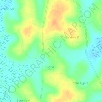
Name: Buita topographic map, elevation, terrain.
Location: Buita, Mukono, Central Region, Ouganda (0.76333 32.76333 0.80333 32.80333)
Average elevation: 1,067 m
Minimum elevation: 1,052 m
Maximum elevation: 1,085 m