
Engelsholm topographic map
Interactive map
Click on the map to display elevation.
About this map
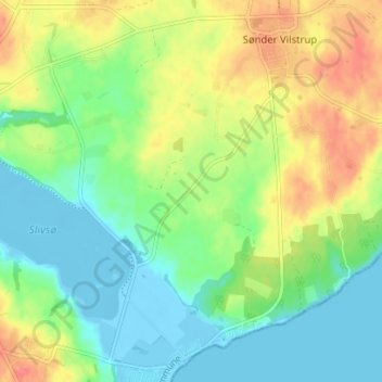
Name: Engelsholm topographic map, elevation, terrain.
Location: Engelsholm, Haderslev Kommune, Danemark-du-Sud, Danemark (55.15559 9.48155 55.19559 9.52155)
Average elevation: 21 m
Minimum elevation: -5 m
Maximum elevation: 53 m