
Pavas topographic map
Interactive map
Click on the map to display elevation.
About this map
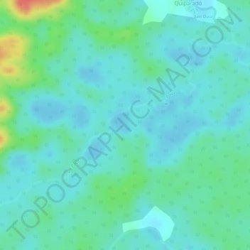
Name: Pavas topographic map, elevation, terrain.
Location: Pavas, Riosucio, Chocó, Colombia (7.15991 -77.33378 7.17843 -77.30770)
Average elevation: 19 m
Minimum elevation: 5 m
Maximum elevation: 63 m