
Thank you for supporting this site ❤️
Make a donation
Make a donation
Corner topographic map
Click on the map to display elevation.
Thank you for supporting this site ❤️
Make a donation
Make a donation
About this map
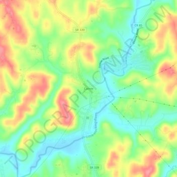
Name: Corner topographic map, elevation, terrain.
Location: Corner, Washington County, Ohio, United States (39.28896 -81.68180 39.32896 -81.64180)
Average elevation: 219 m
Minimum elevation: 181 m
Maximum elevation: 266 m
Thank you for supporting this site ❤️
Make a donation
Make a donation