
Nirgundi topographic map
Interactive map
Click on the map to display elevation.
About this map
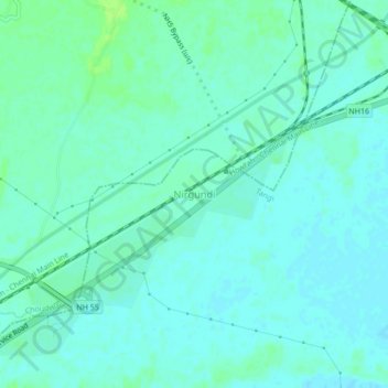
Name: Nirgundi topographic map, elevation, terrain.
Location: Nirgundi, Tangi, Cuttack, Odisha, 754025, India (20.51548 85.93518 20.55548 85.97518)
Average elevation: 22 m
Minimum elevation: 18 m
Maximum elevation: 28 m
Other topographic maps
Click on a map to view its topography, its elevation and its terrain.