
Mundri East topographic map
Interactive map
Click on the map to display elevation.
About this map
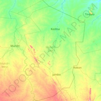
Name: Mundri East topographic map, elevation, terrain.
Location: Mundri East, Western Equatoria, South Sudan (4.80264 30.34004 5.80107 31.01846)
Average elevation: 583 m
Minimum elevation: 446 m
Maximum elevation: 1,014 m