
Yangtougang topographic map
Interactive map
Click on the map to display elevation.
About this map
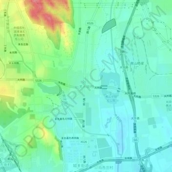
Name: Yangtougang topographic map, elevation, terrain.
Location: Yangtougang, Fangshan District, 102400, China (39.70267 115.98926 39.74267 116.02926)
Average elevation: 61 m
Minimum elevation: 39 m
Maximum elevation: 122 m