
Showkah Dam topographic map
Interactive map
Click on the map to display elevation.
About this map
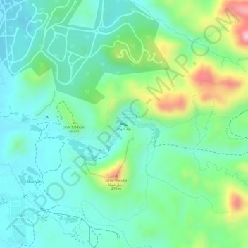
Name: Showkah Dam topographic map, elevation, terrain.
Location: Showkah Dam, Shawka, Ras al-Khaimah, United Arab Emirates (25.10533 56.04239 25.10570 56.04334)
Average elevation: 330 m
Minimum elevation: 256 m
Maximum elevation: 503 m