
Bagariyavas topographic map
Interactive map
Click on the map to display elevation.
About this map
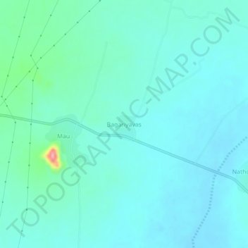
Name: Bagariyavas topographic map, elevation, terrain.
Location: Bagariyavas, Sri Madhopur Tehsil, Sikar, Rajasthan, India (27.40941 75.63289 27.44941 75.67289)
Average elevation: 503 m
Minimum elevation: 486 m
Maximum elevation: 601 m
Other topographic maps
Click on a map to view its topography, its elevation and its terrain.
Ringas
India > Rajasthan > Sri Madhopur Tehsil
Ringas, Sri Madhopur Tehsil, Sikar, Rajasthan, 332404, India
Average elevation: 478 m