
Charleston Heights topographic map
Interactive map
Click on the map to display elevation.
About this map
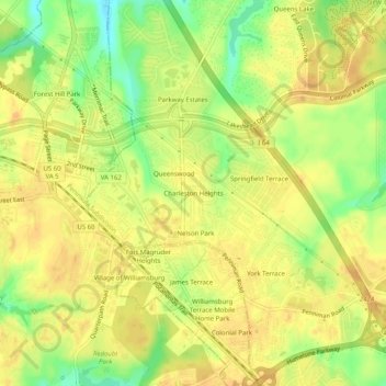
Name: Charleston Heights topographic map, elevation, terrain.
Location: Charleston Heights, York County, Virginia, 2318, USA (37.25126 -76.69079 37.29126 -76.65079)
Average elevation: 24 m
Minimum elevation: 2 m
Maximum elevation: 35 m