
Thank you for supporting this site ❤️
Make a donation
Make a donation
Nikël topographic map
Click on the map to display elevation.
Thank you for supporting this site ❤️
Make a donation
Make a donation
About this map
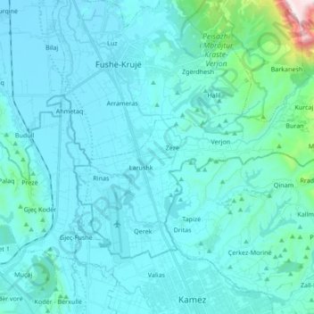
Name: Nikël topographic map, elevation, terrain.
Location: Nikël, Kruje, Durrës County, Northern Albania, 1504, Albania (41.40019 19.69642 41.48202 19.86586)
Average elevation: 107 m
Minimum elevation: 10 m
Maximum elevation: 1,156 m
Thank you for supporting this site ❤️
Make a donation
Make a donation