
Pasar Kembang topographic map
Interactive map
Click on the map to display elevation.
About this map
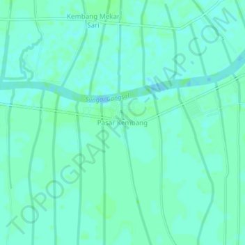
Name: Pasar Kembang topographic map, elevation, terrain.
Average elevation: 3 m
Minimum elevation: -3 m
Maximum elevation: 6 m
Other topographic maps
Click on a map to view its topography, its elevation and its terrain.
Sungai Luar
Indonesia > Riau > Indragiri Hilir Regency > Sungai Luar
Sungai Luar, Kecamatan Batang Tuaka, Indragiri Hilir Regency, Riau, Indonesia
Average elevation: 4 m