
Linderbach topographic map
Interactive map
Click on the map to display elevation.
About this map
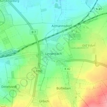
Name: Linderbach topographic map, elevation, terrain.
Location: Linderbach, Erfurt, Thüringen, 99098, Deutschland (50.95778 11.08058 50.99778 11.12058)
Average elevation: 227 m
Minimum elevation: 195 m
Maximum elevation: 290 m