
Køge Søhuse topographic map
Interactive map
Click on the map to display elevation.
About this map
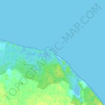
Name: Køge Søhuse topographic map, elevation, terrain.
Location: Køge Søhuse, Stevns Kommune, Region Sjælland, Danemark (55.37551 12.34663 55.41551 12.38663)
Average elevation: 3 m
Minimum elevation: -3 m
Maximum elevation: 15 m