
Yellel topographic map
Interactive map
Click on the map to display elevation.
About this map
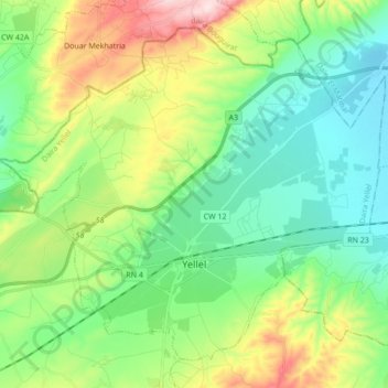
Name: Yellel topographic map, elevation, terrain.
Location: Yellel, Daïra Yellel, Relizane, Algérie (35.68713 0.26970 35.80703 0.44194)
Average elevation: 168 m
Minimum elevation: 52 m
Maximum elevation: 436 m