
Mizni Dol topographic map
Interactive map
Click on the map to display elevation.
About this map
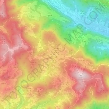
Name: Mizni Dol topographic map, elevation, terrain.
Location: Mizni Dol, Vrhnika, Upravna Enota Vrhnika, 1345, Slovenië (45.96331 14.20593 46.00331 14.24593)
Average elevation: 569 m
Minimum elevation: 300 m
Maximum elevation: 790 m