
Lápafő topographic map
Interactive map
Click on the map to display elevation.
About this map
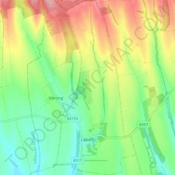
Name: Lápafő topographic map, elevation, terrain.
Average elevation: 188 m
Minimum elevation: 135 m
Maximum elevation: 266 m
Other topographic maps
Click on a map to view its topography, its elevation and its terrain.
Tevel
Tevel, Bonyhádi járás, Tolna vármegye, Zuid-Transdanubië, Transdanubië, 7181, Hongarije
Average elevation: 176 m