
Hajang-myeon topographic map
Interactive map
Click on the map to display elevation.
About this map
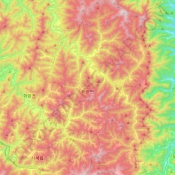
Name: Hajang-myeon topographic map, elevation, terrain.
Location: Hajang-myeon, Samcheok-si, Gangwon State, South Korea (37.21655 128.84594 37.45109 129.01685)
Average elevation: 772 m
Minimum elevation: 120 m
Maximum elevation: 1,393 m