
Merzbrück topographic map
Interactive map
Click on the map to display elevation.
About this map
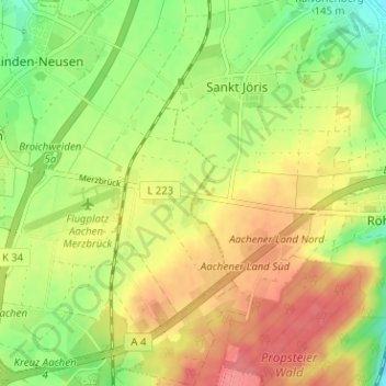
Name: Merzbrück topographic map, elevation, terrain.
Average elevation: 193 m
Minimum elevation: 155 m
Maximum elevation: 229 m
Other topographic maps
Click on a map to view its topography, its elevation and its terrain.
Auf der Kleinen Höhe
Deutschland > Nordrhein-Westfalen > Städteregion Aachen > Würselen
Auf der Kleinen Höhe, Drisch, Würselen, Städteregion Aachen, Nordrhein-Westfalen, 52146, Deutschland
Average elevation: 189 m