
Nimgaon topographic map
Interactive map
Click on the map to display elevation.
About this map
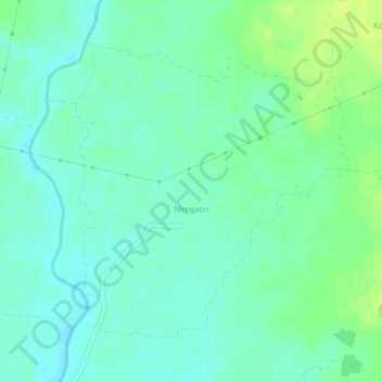
Name: Nimgaon topographic map, elevation, terrain.
Location: Nimgaon, Lakhani Taluka, Bhandara District, Maharashtra, India (20.93874 79.86942 20.95945 79.89028)
Average elevation: 239 m
Minimum elevation: 231 m
Maximum elevation: 247 m