
Ocquier topographic map
Interactive map
Click on the map to display elevation.
About this map
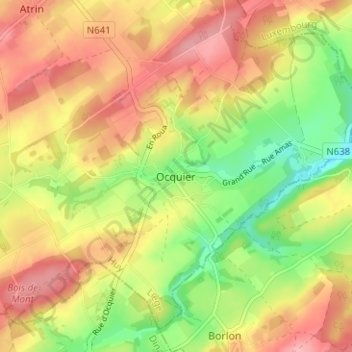
Name: Ocquier topographic map, elevation, terrain.
Location: Ocquier, Clavier, Huy, Liège, Wallonia, 4560, Belgium (50.37664 5.37614 50.41664 5.41614)
Average elevation: 270 m
Minimum elevation: 208 m
Maximum elevation: 323 m