
Chodes topographic map
Interactive map
Click on the map to display elevation.
About this map
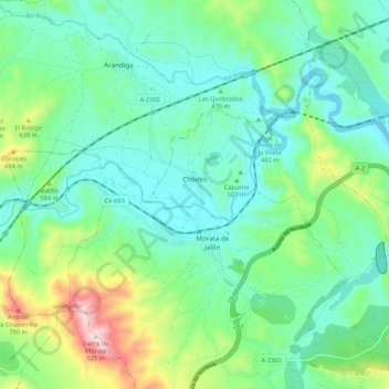
Name: Chodes topographic map, elevation, terrain.
Location: Chodes, Valdejalón, Zaragoza, Aragón, España (41.45818 -1.53196 41.50803 -1.42511)
Average elevation: 504 m
Minimum elevation: 369 m
Maximum elevation: 910 m