
Sarjapura topographic map
Interactive map
Click on the map to display elevation.
About this map
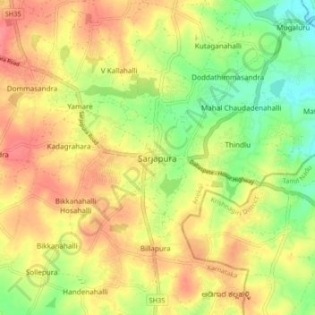
Name: Sarjapura topographic map, elevation, terrain.
Location: Sarjapura, Anekal, Bengaluru Urban, Karnataka, 562125, India (12.82009 77.74614 12.90009 77.82614)
Average elevation: 882 m
Minimum elevation: 846 m
Maximum elevation: 912 m
Other topographic maps
Click on a map to view its topography, its elevation and its terrain.