
شهر ماهان topographic map
Interactive map
Click on the map to display elevation.
About this map
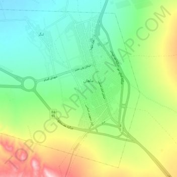
Name: شهر ماهان topographic map, elevation, terrain.
Location: شهر ماهان, بخش ماهان, Verwaltungsbezirk Kerman, Kerman, Iran (30.01456 57.22344 30.08542 57.31482)
Average elevation: 1,944 m
Minimum elevation: 1,837 m
Maximum elevation: 2,145 m