
Mahua topographic map
Interactive map
Click on the map to display elevation.
About this map
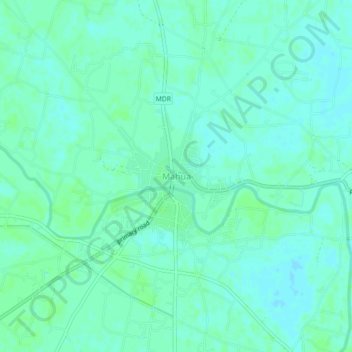
Name: Mahua topographic map, elevation, terrain.
Location: Mahua, Vaishāli, Vaishali, Bihar, India (25.79408 85.37790 25.83408 85.41790)
Average elevation: 52 m
Minimum elevation: 48 m
Maximum elevation: 54 m