
Hockley Port topographic map
Interactive map
Click on the map to display elevation.
About this map
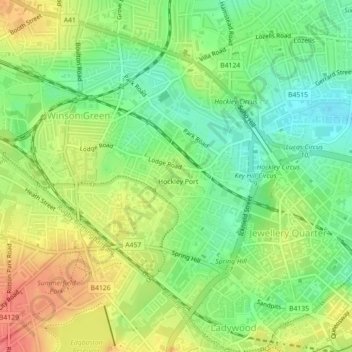
Name: Hockley Port topographic map, elevation, terrain.
Average elevation: 138 m
Minimum elevation: 110 m
Maximum elevation: 170 m
Other topographic maps
Click on a map to view its topography, its elevation and its terrain.
Metchley
United Kingdom > England > Birmingham
Metchley, Birmingham, West Midlands Combined Authority, England, B15 2WB, United Kingdom
Average elevation: 150 m
Attwood Green
United Kingdom > England > Birmingham > Attwood Green
Attwood Green, Birmingham, West Midlands Combined Authority, England, B15 2AR, United Kingdom
Average elevation: 131 m