
Thank you for supporting this site ❤️
Make a donation
Make a donation
Kudali topographic map
Click on the map to display elevation.
Thank you for supporting this site ❤️
Make a donation
Make a donation
About this map
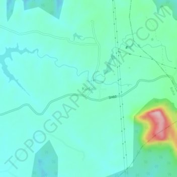
Name: Kudali topographic map, elevation, terrain.
Location: Kudali, Roha, Raigad, Maharashtra, 402308, India (18.39644 73.29068 18.43644 73.33068)
Average elevation: 124 m
Minimum elevation: 79 m
Maximum elevation: 319 m
Thank you for supporting this site ❤️
Make a donation
Make a donation