
あかしあ台第6公園 topographic map
Interactive map
Click on the map to display elevation.
About this map
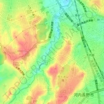
Name: あかしあ台第6公園 topographic map, elevation, terrain.
Location: あかしあ台第6公園, あかしあ台二丁目, 河内長野市, 大阪府, 日本 (34.46853 135.55415 34.46876 135.55452)
Average elevation: 131 m
Minimum elevation: 94 m
Maximum elevation: 164 m