
Wadi Khuraytah topographic map
Interactive map
Click on the map to display elevation.
About this map
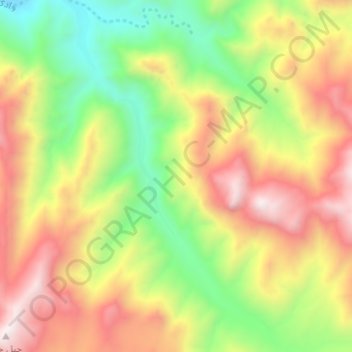
Name: Wadi Khuraytah topographic map, elevation, terrain.
Location: Wadi Khuraytah, Saint Catherine, South Sinai, Egypt (28.42903 33.85125 28.48396 33.90289)
Average elevation: 1,323 m
Minimum elevation: 759 m
Maximum elevation: 1,954 m
Other topographic maps
Click on a map to view its topography, its elevation and its terrain.
St Catherine's Monastery
Egypt > South Sinai > Saint Catherine
St Catherine's Monastery, Saint Catherine, South Sinai, Egypt
Average elevation: 1,802 m