
Thank you for supporting this site ❤️
Make a donation
Make a donation
Mahaoya topographic map
Click on the map to display elevation.
Thank you for supporting this site ❤️
Make a donation
Make a donation
About this map
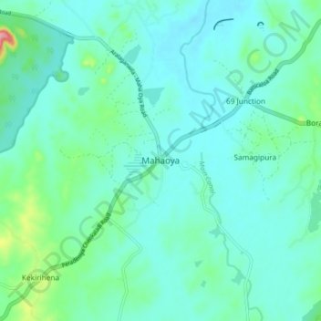
Name: Mahaoya topographic map, elevation, terrain.
Location: Mahaoya, Ampara District, Eastern Province, Sri Lanka (7.49079 81.31609 7.57079 81.39609)
Average elevation: 60 m
Minimum elevation: 36 m
Maximum elevation: 175 m
Thank you for supporting this site ❤️
Make a donation
Make a donation
Other topographic maps
Click on a map to view its topography, its elevation and its terrain.