
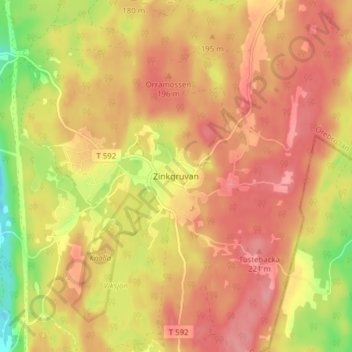
Zinkgruvan topographic map
Interactive map
Click on the map to display elevation.
About this map
Name: Zinkgruvan topographic map, elevation, terrain.
Location: Zinkgruvan, Askersunds kommun, Comté d'Örebro, Suède (58.79592 15.08747 58.83592 15.12747)
Average elevation: 184 m
Minimum elevation: 127 m
Maximum elevation: 214 m