
Tuần Châu topographic map
Interactive map
Click on the map to display elevation.
About this map
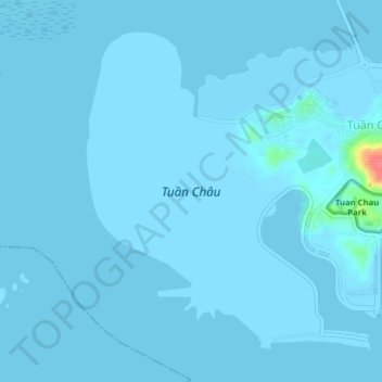
Name: Tuần Châu topographic map, elevation, terrain.
Location: Tuần Châu, Hạ Long City, Quảng Ninh Province, Vietnam (20.91311 106.95948 20.94387 106.99891)
Average elevation: 1 m
Minimum elevation: 0 m
Maximum elevation: 60 m
Other topographic maps
Click on a map to view its topography, its elevation and its terrain.
Hạ Long City
Vietnam > Quang Ninh Province > Hạ Long City
Hạ Long City, Quang Ninh Province, 36000, Vietnam
Average elevation: 97 m