
Pazhani.CV, Chulliyodu(H),Edivanna topographic map
Interactive map
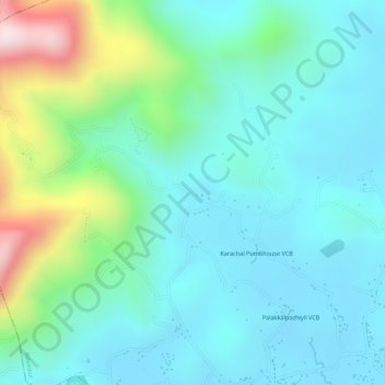
Click on the map to display elevation.
About this map
Name: Pazhani.CV, Chulliyodu(H),Edivanna topographic map, elevation, terrain.
Average elevation: 125 m
Minimum elevation: 15 m
Maximum elevation: 468 m
Other topographic maps
Click on a map to view its topography, its elevation and its terrain.
Nilambur
The 2,554 m (8,379 ft) m high Mukurthi peak, which is situated in the border of Nilambur Taluk and Ooty Taluk, and is also the fifth-highest peak in South India as well as the third-highest in Kerala after Anamudi (2,696 m [8,845 ft]) and Meesapulimala (2,651 m [8,698 ft]), is the highest point of elevation in…
Average elevation: 33 m