
Thank you for supporting this site ❤️
Make a donation
Make a donation
Sector 109 topographic map
Click on the map to display elevation.
Thank you for supporting this site ❤️
Make a donation
Make a donation
About this map
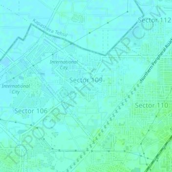
Name: Sector 109 topographic map, elevation, terrain.
Location: Sector 109, Gurgaon, Gurugram District, Haryana, India (28.50134 76.99484 28.51848 77.01862)
Average elevation: 214 m
Minimum elevation: 211 m
Maximum elevation: 218 m
Thank you for supporting this site ❤️
Make a donation
Make a donation
Other topographic maps
Click on a map to view its topography, its elevation and its terrain.