
Shady Groove Park And Baseball Field topographic map
Interactive map
Click on the map to display elevation.
About this map
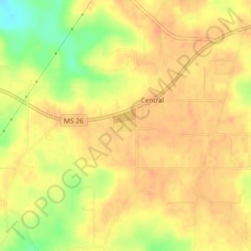
Name: Shady Groove Park And Baseball Field topographic map, elevation, terrain.
Average elevation: 60 m
Minimum elevation: 32 m
Maximum elevation: 70 m