
Thank you for supporting this site ❤️
Make a donation
Make a donation
Lagat Island topographic map
Click on the map to display elevation.
Thank you for supporting this site ❤️
Make a donation
Make a donation
About this map
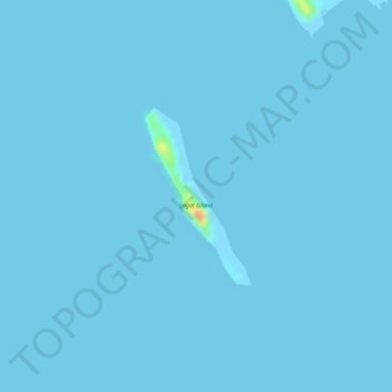
Name: Lagat Island topographic map, elevation, terrain.
Location: Lagat Island, Tara, Coron, Palawan, Mimaropa, Philippines (12.24291 120.35778 12.25524 120.36530)
Average elevation: 0 m
Minimum elevation: -3 m
Maximum elevation: 46 m
Thank you for supporting this site ❤️
Make a donation
Make a donation