
Kapugunneri topographic map
Interactive map
Click on the map to display elevation.
About this map
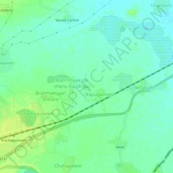
Name: Kapugunneri topographic map, elevation, terrain.
Location: Kapugunneri, Srikalahasti, Tirupati, Andhra Pradesh, India (13.70611 79.62861 13.74611 79.66861)
Average elevation: 73 m
Minimum elevation: 66 m
Maximum elevation: 83 m