
Thank you for supporting this site ❤️
Make a donation
Make a donation
Sloan topographic map
Click on the map to display elevation.
Thank you for supporting this site ❤️
Make a donation
Make a donation
About this map
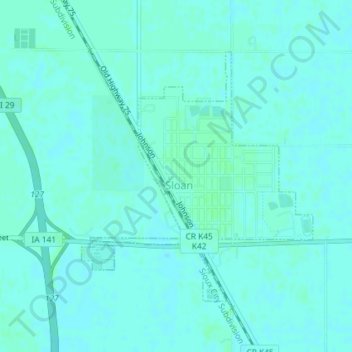
Name: Sloan topographic map, elevation, terrain.
Location: Sloan, Sloan Township, Woodbury County, Iowa, United States (42.22410 -96.23806 42.24323 -96.21408)
Average elevation: 326 m
Minimum elevation: 324 m
Maximum elevation: 329 m
Thank you for supporting this site ❤️
Make a donation
Make a donation
Other topographic maps
Click on a map to view its topography, its elevation and its terrain.