
Thank you for supporting this site ❤️
Make a donation
Make a donation
Granger topographic map
Click on the map to display elevation.
Thank you for supporting this site ❤️
Make a donation
Make a donation
About this map
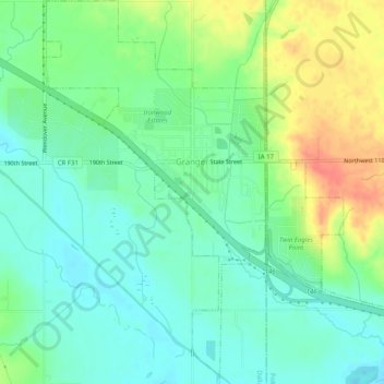
Name: Granger topographic map, elevation, terrain.
Location: Granger, Dallas County, Iowa, 50109, United States (41.73922 -93.84384 41.77690 -93.79835)
Average elevation: 274 m
Minimum elevation: 254 m
Maximum elevation: 310 m
Thank you for supporting this site ❤️
Make a donation
Make a donation