
Dessel topographic map
Interactive map
Click on the map to display elevation.
About this map
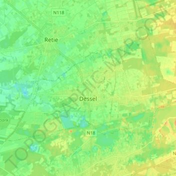
Name: Dessel topographic map, elevation, terrain.
Location: Dessel, Turnhout, Anvers, Flandre, 2480, Belgique (51.21869 5.04994 51.26971 5.18556)
Average elevation: 25 m
Minimum elevation: 13 m
Maximum elevation: 38 m
Other topographic maps
Click on a map to view its topography, its elevation and its terrain.