
Vikhurle topographic map
Interactive map
Click on the map to display elevation.
About this map
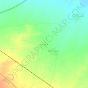
Name: Vikhurle topographic map, elevation, terrain.
Location: Vikhurle, Sindkhede, Dhule, Maharashtra, 425408, India (21.29712 74.60176 21.33712 74.64176)
Average elevation: 164 m
Minimum elevation: 147 m
Maximum elevation: 184 m