
Make a donation
Pangong Tso topographic map
Click on the map to display elevation.
Make a donation
Pangong Tso
Pangong Tso or Pangong Lake (Tibetan: སྤང་གོང་མཚོ; Chinese: 班公错; pinyin: Bān gōng cuò; Hindi: पैंगोंग झील, romanized: Paiṅgoṅg jhīl) is an endorheic lake spanning eastern Ladakh and West Tibet situated at an elevation of 4,225 m (13,862 ft). It is 134 km (83 mi) long and divided into five sublakes, called Pangong Tso, Tso Nyak, Rum Tso (twin lakes) and Nyak Tso. Approximately 50% of the length of the overall lake lies within Tibet administered by China, 40% in Ladakh, India and the remaining 10% is disputed and is a de facto buffer zone between India and China. The lake is 5 km (3.1 mi) wide at its broadest point. All together it covers almost 700 km2. During winter the lake freezes completely, despite being saline water. It has a land-locked basin separated from the Indus River basin by a small elevated ridge, but is believed to have been part of the latter in prehistoric times.
Make a donation
About this map
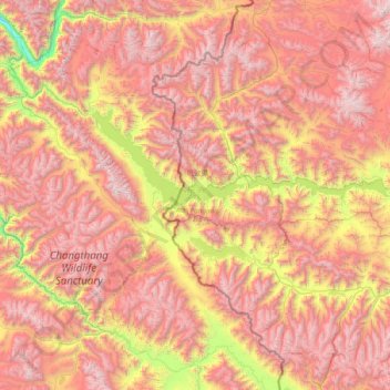
Name: Pangong Tso topographic map, elevation, terrain.
Location: Pangong Tso, Rutog County, Ngari Prefecture, Tibet, China (33.42971 78.41971 33.98425 79.93191)
Average elevation: 5,119 m
Minimum elevation: 3,493 m
Maximum elevation: 6,599 m
Make a donation
Other topographic maps
Click on a map to view its topography, its elevation and its terrain.