
Thank you for supporting this site ❤️
Make a donation
Make a donation
Hiawatha topographic map
Click on the map to display elevation.
Thank you for supporting this site ❤️
Make a donation
Make a donation
Hiawatha
The elevation of Hiawatha is 850 feet (260 m) above sea level.
Thank you for supporting this site ❤️
Make a donation
Make a donation
About this map
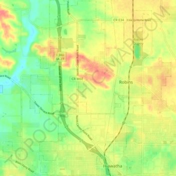
Name: Hiawatha topographic map, elevation, terrain.
Location: Hiawatha, Linn County, Iowa, 52233, United States (42.03467 -91.71662 42.10266 -91.66302)
Average elevation: 258 m
Minimum elevation: 228 m
Maximum elevation: 285 m
Thank you for supporting this site ❤️
Make a donation
Make a donation
Other topographic maps
Click on a map to view its topography, its elevation and its terrain.